is a CAA certified provider of Drone services for Land and Property Surveying & Mapping, Real Estate Advertising,Architectural & Engineering Design, Construction Management, , Events. We are providing high-quality aerial photography and videography services for personal and commercial use. We are covering South East England: London,Surrey,West and East Sussex,Kent. Always delivering with a commitment to exceeding your expectations.
Browse the details of our services or contact us using the button below.
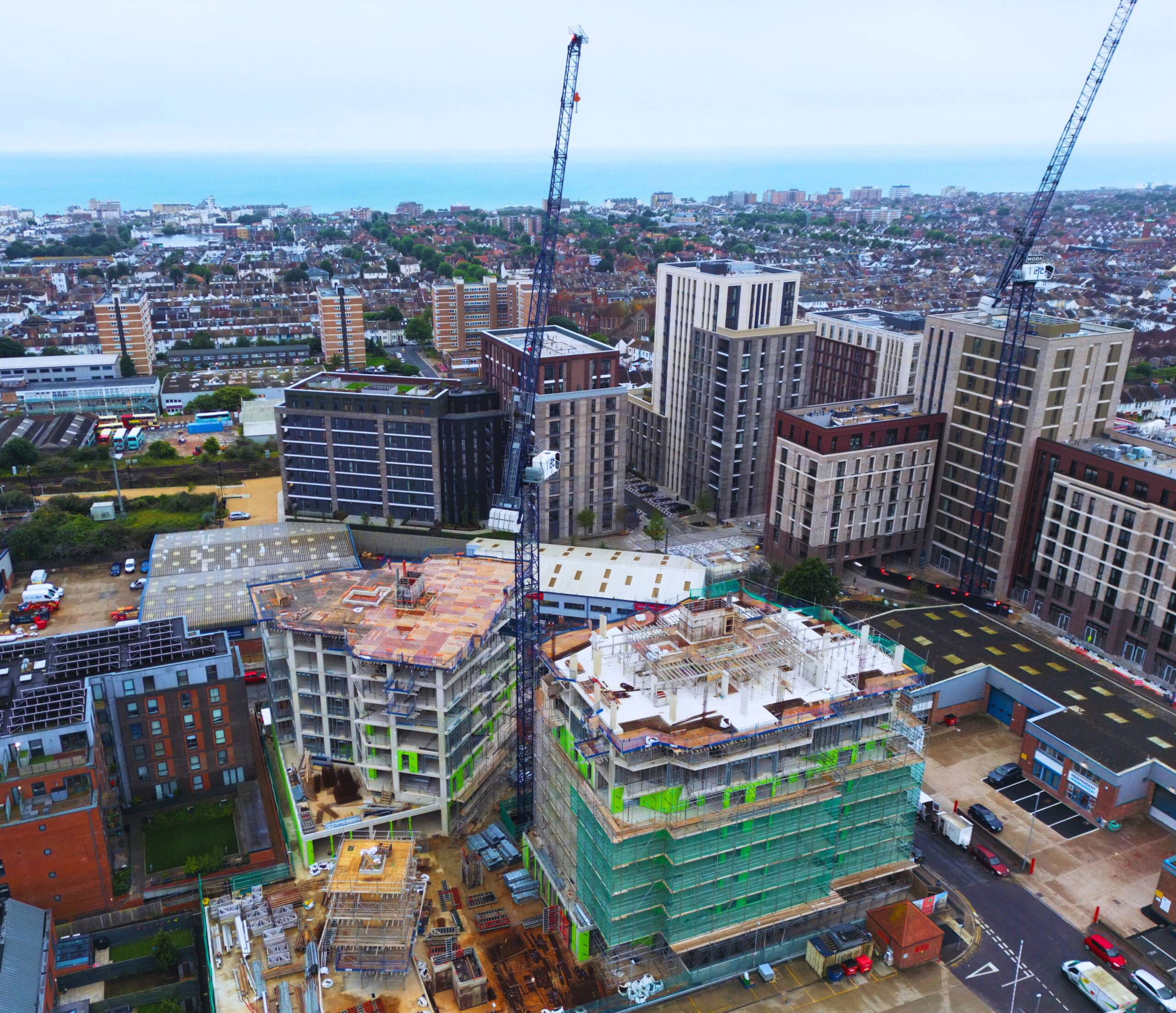
In construction, monitoring progress and ensuring subcontractors follow standards are crucial. Detailed inspections help identify issues before they cause problems, and reflecting on progress helps identify areas for improvement. Checking regularly is vital to keep the project on track and deliver satisfactory results.
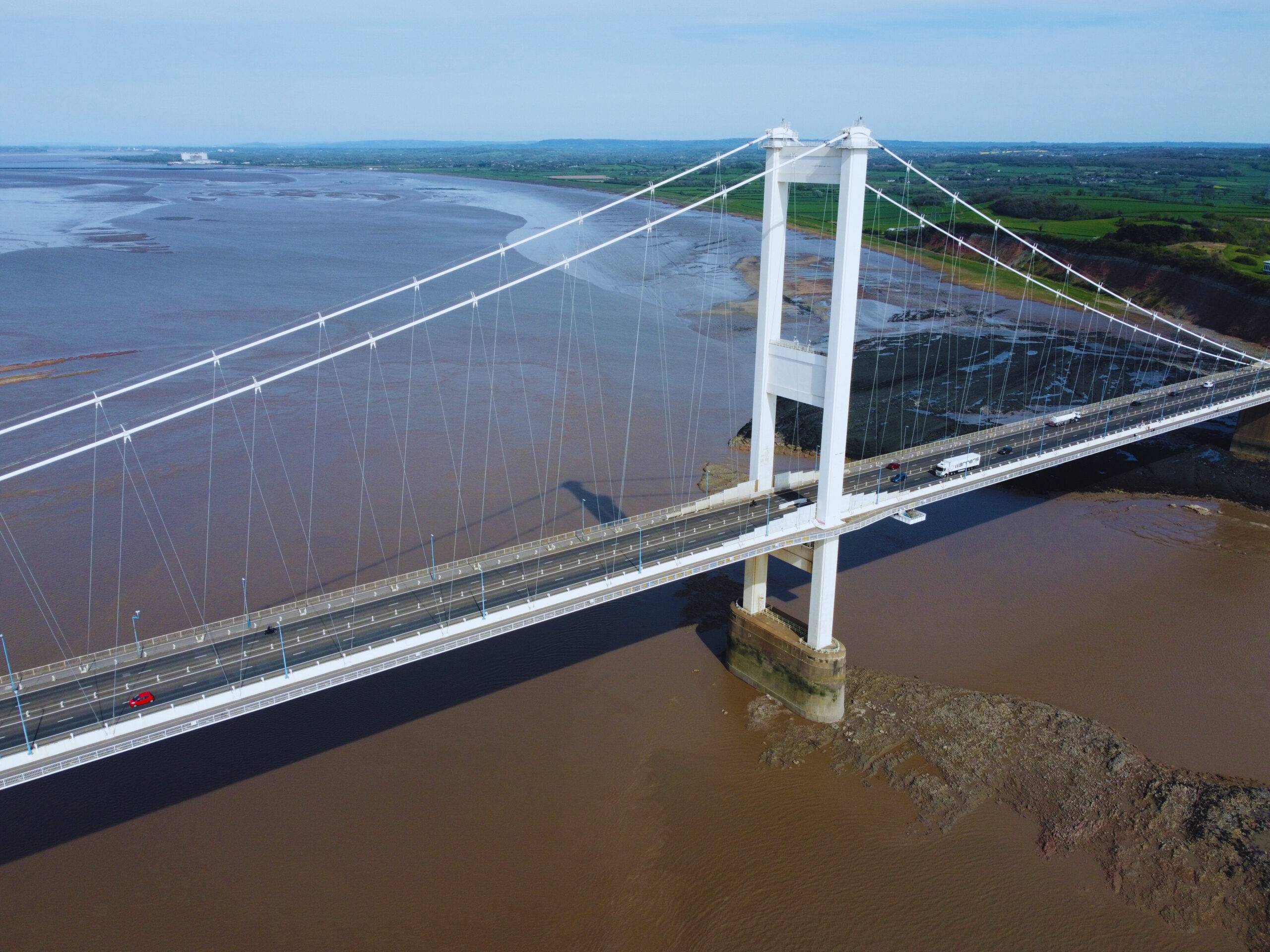
Infrastructure and public utility systems need regular maintenance to avoid negative consequences. Accurate inspections are essential for safety and functionality. High-resolution photography and infrared imaging detect wear and tear, anomalies, and potential damage. Early identification reduces downtime and costs. Comprehensive inspections ensure continued reliability and essential services. Advanced technologies enable proactive measures and lower repair costs.
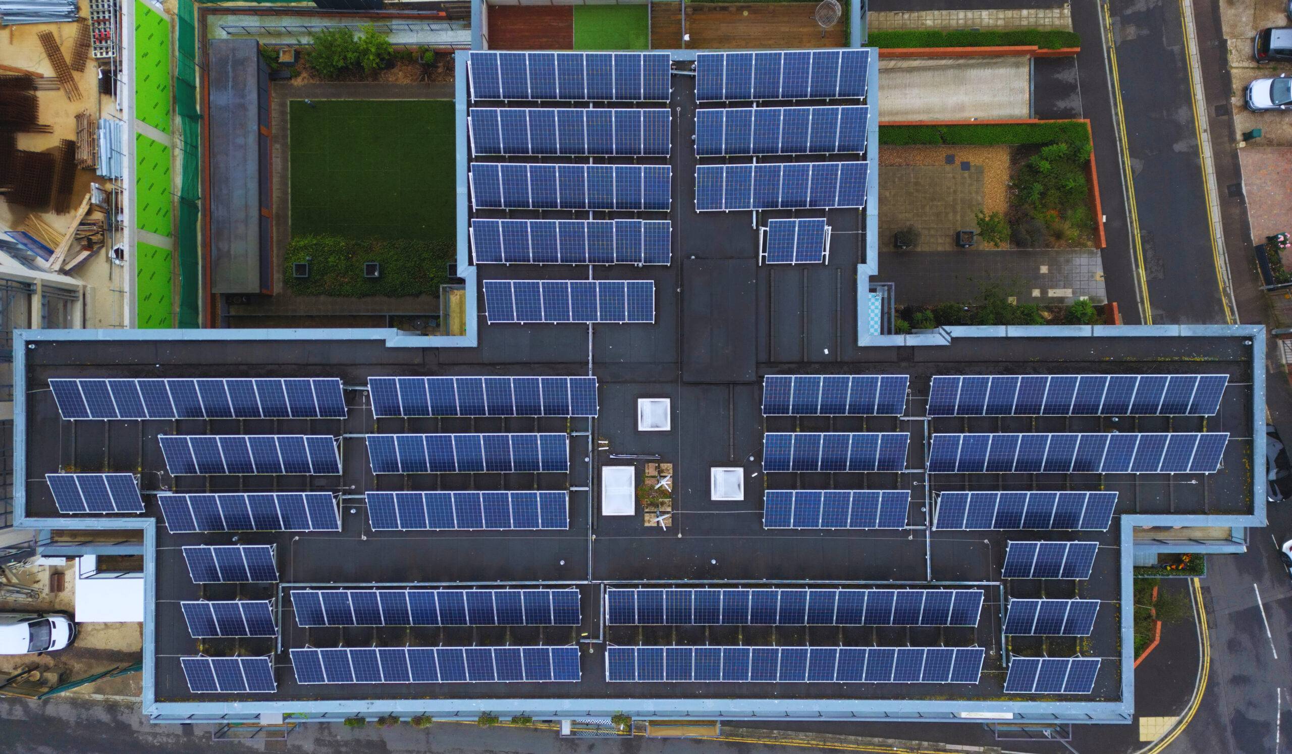
We offer infrared imaging services and detailed analysis reports for a variety of solar installations, ranging from large-scale solar farms to roof-based systems. Additionally, we can provide sophisticated 3D roof mapping services that aid in installation design.
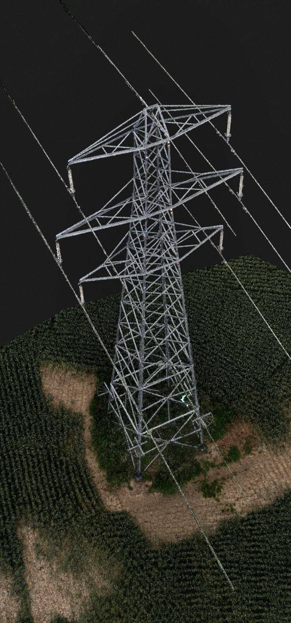
View Studies for pre-design and pre-sales purposes, integrated with existing 3D building designs for comprehensive views from all angles and heights.Realistic 3D site models with Drone Photogrammetry tech for site planning and superimposing new structures.
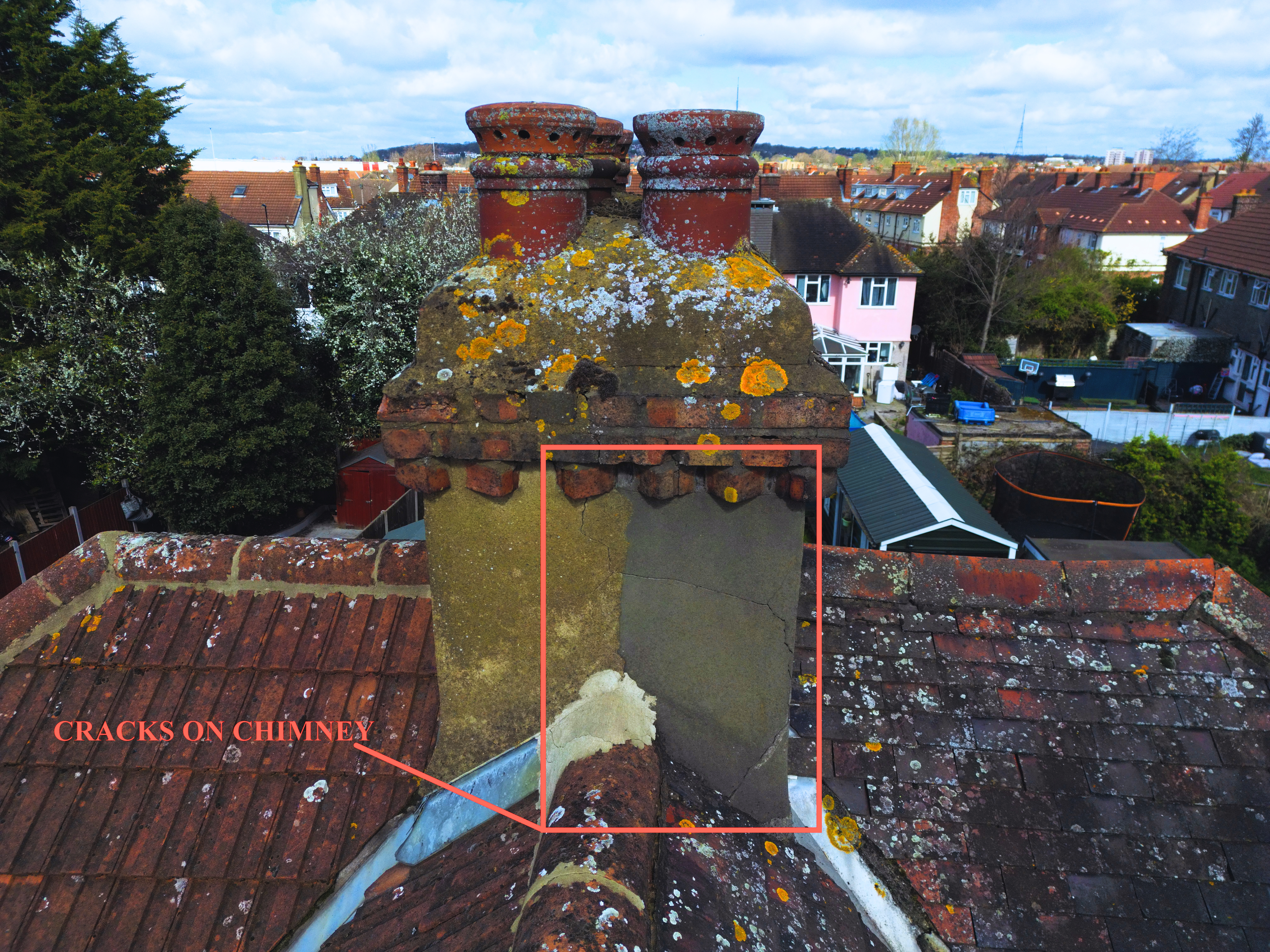
Our drone building and roof inspection service is unparalleled. We confidently handle even the tallest highrises and complex commercial multi-unit residential properties. With the optional Infrared imaging and 3D Roof Measurements Reports, we able to provide the most comprehensive and accurate inspection reports available.
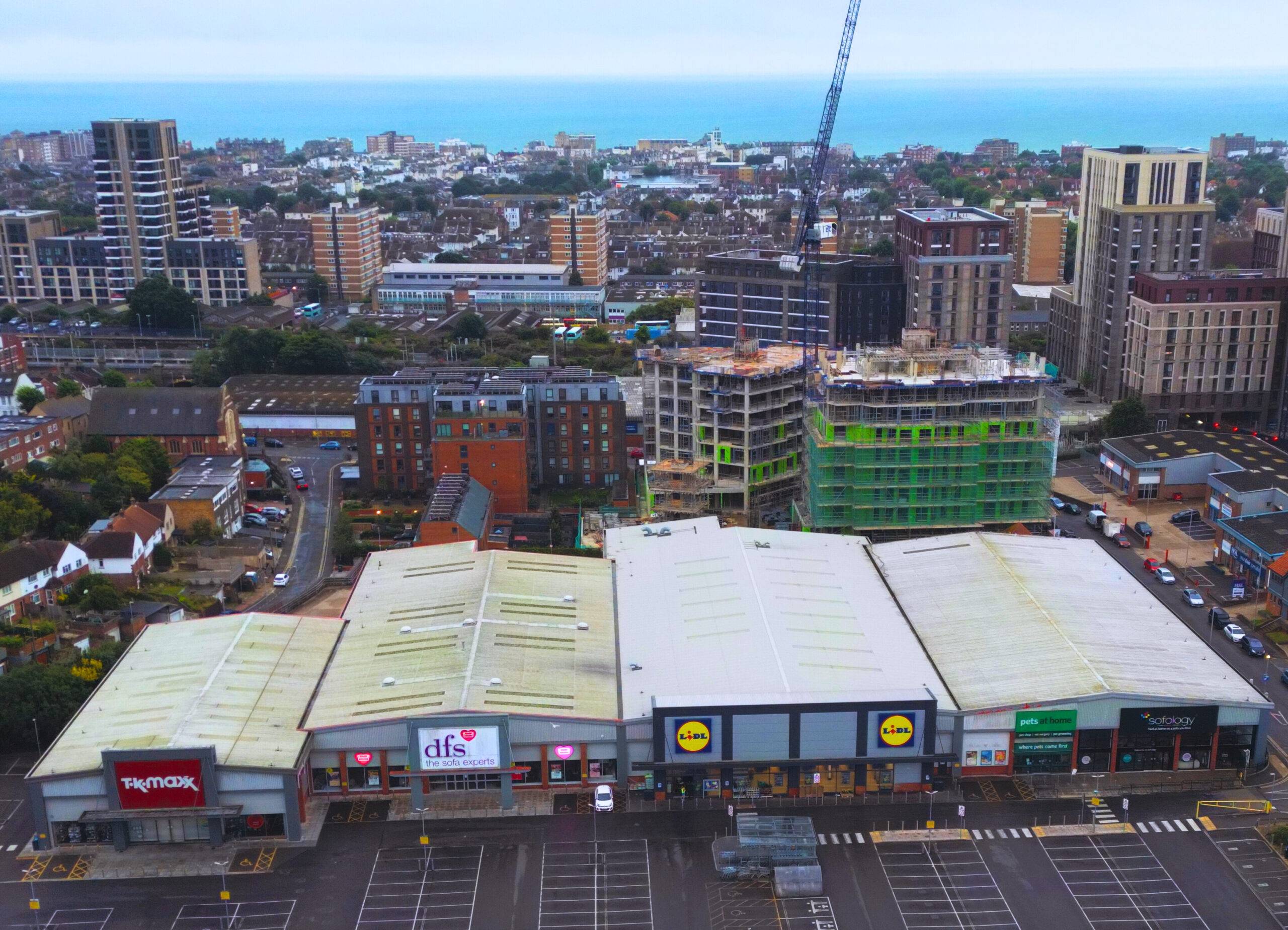
We providing advertising solutions for commercial real estate and business services. Our expertise also includes editing of corporate advertising videos to elevate your brand's message.
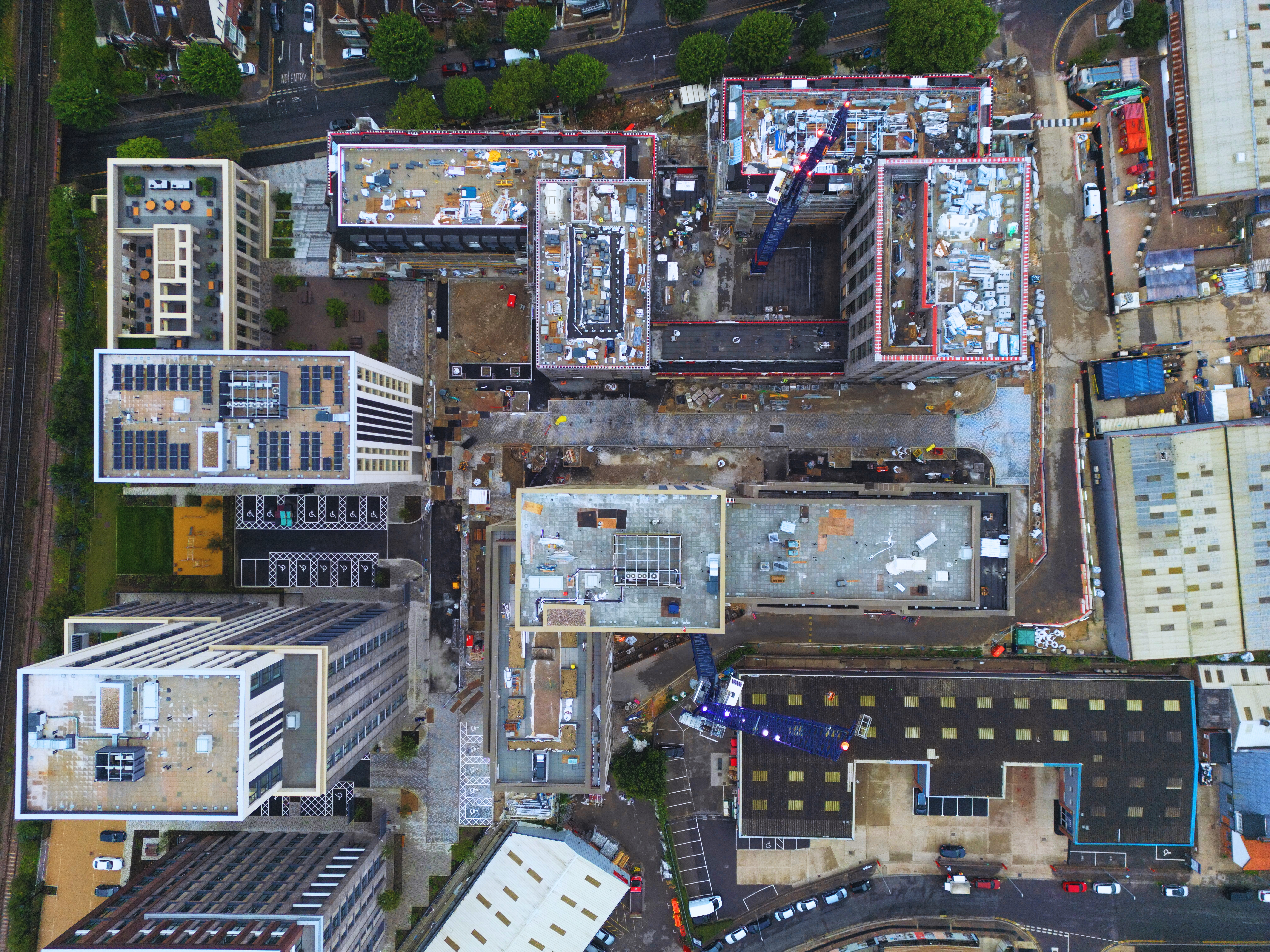
Our Large Area Elevation Mapping & Aerial Imaging services utilize state-of-the-art technology to deliver high-quality and accurate to-scale maps and site base plans for a diverse range of designs and studies. Whether you are designing a new development, conducting environmental studies, or planning infrastructure projects, our aerial imaging and elevation mapping services can provide you with the reliable and detailed information you need to achieve success. We employ advanced photogrammetry techniques to gather precise data, which can be used to create accurate digital elevation models of the area. This information can then be used to create 3D models and provide detailed analysis for engineering, architectural, and planning applications.
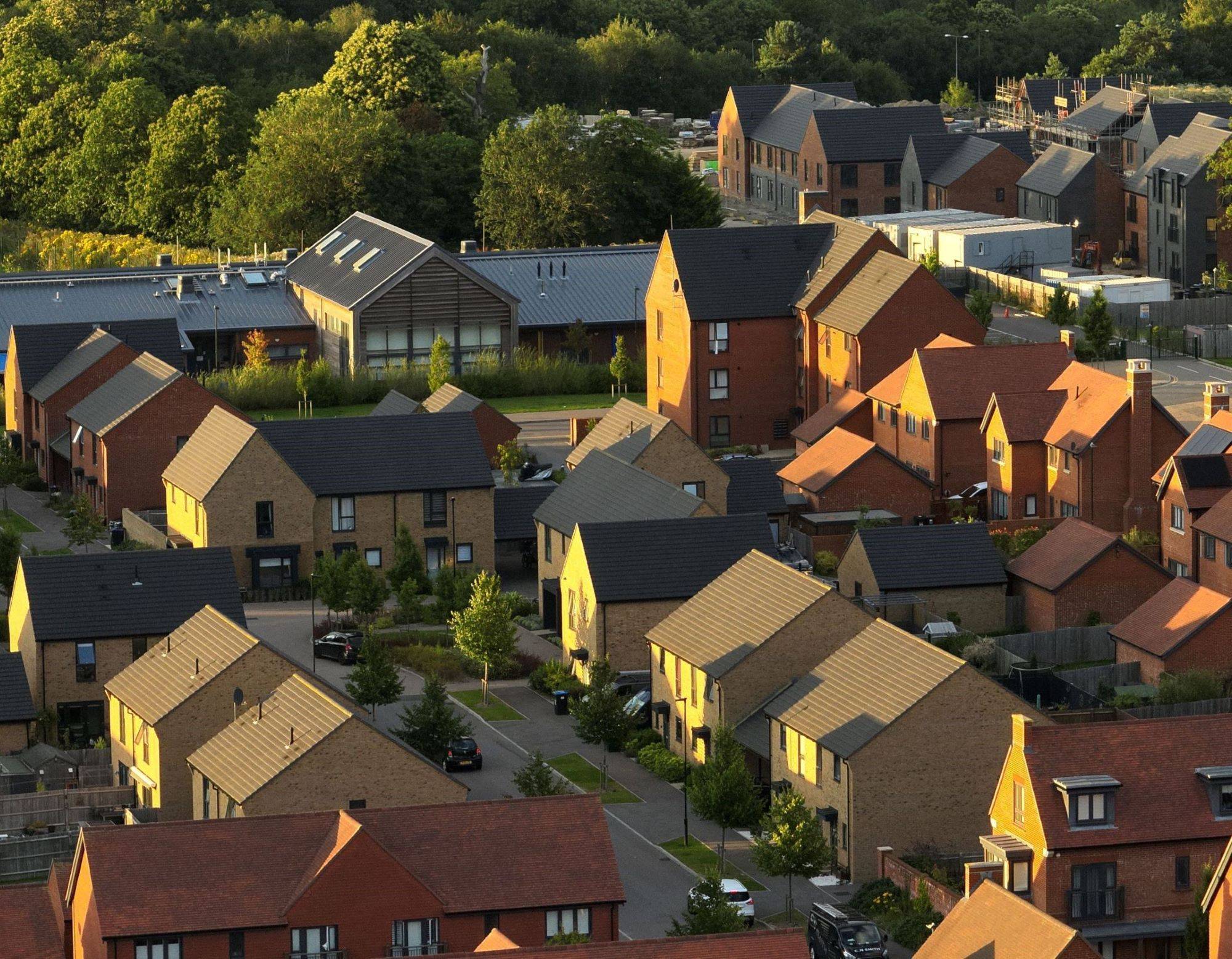
We offer aerial drone property photography and videography services that cater to the needs of residential estate agents. Our aerial filming utilizing drones provides potential buyers with an exceptional aerial view of your property portfolio that sets it apart from the competition on prominent websites such as Zoopla and Rightmove.
Click on the image for more