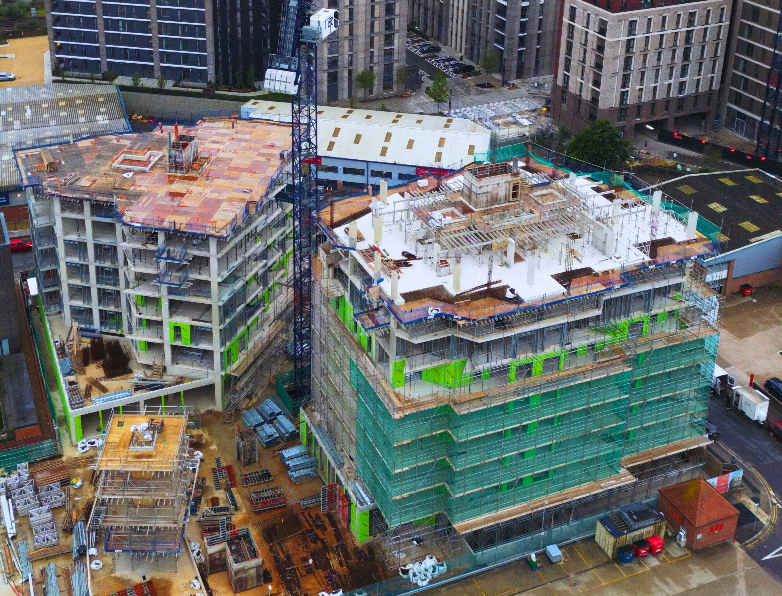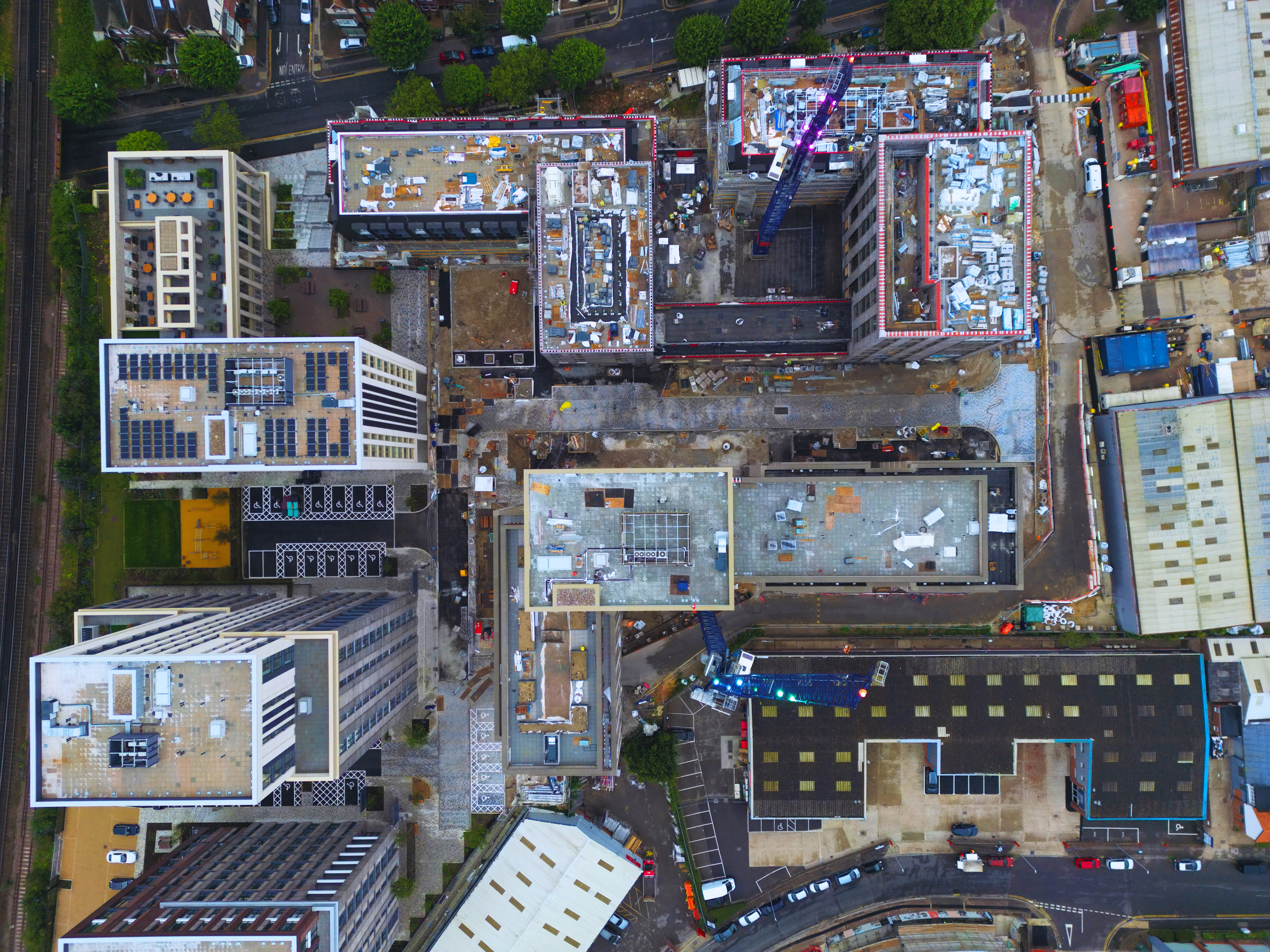
GIOS DRONES are pleased to offer aerial imaging services to the construction and real estate development industry. We collaborate with organizations to adeptly harness drone technology to achieve optimal advantages, such as:

Drone volumetrics
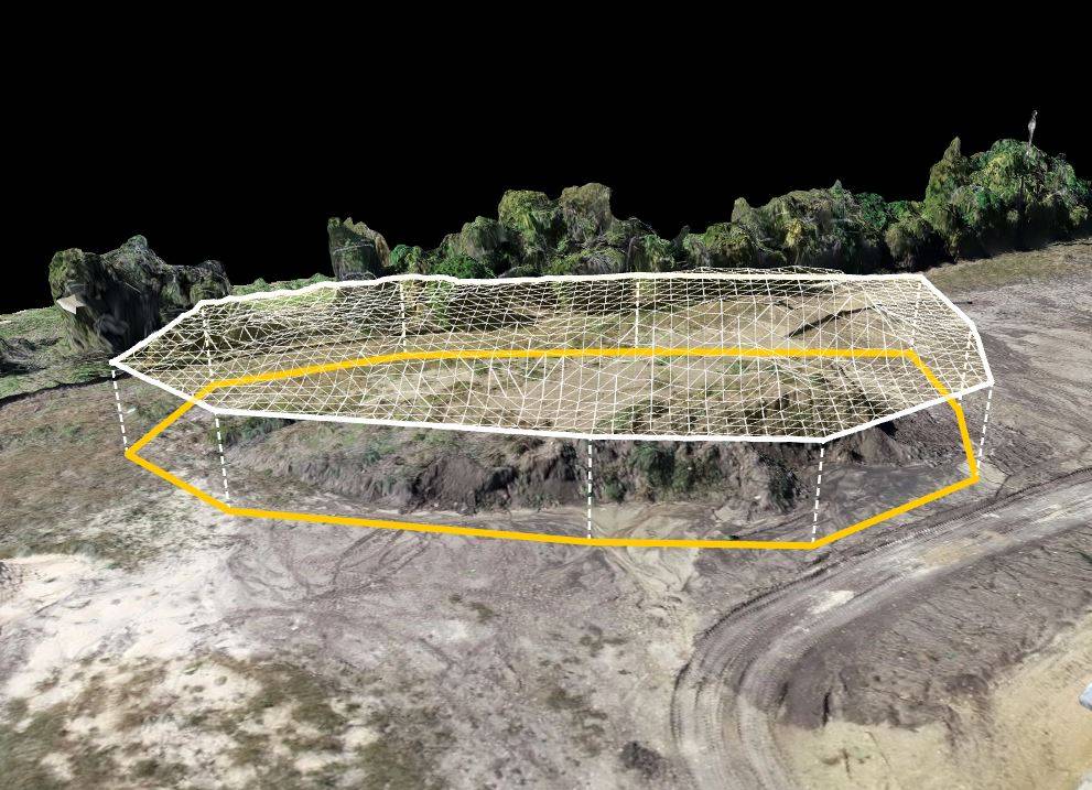
Our Drone Volumetric Service allows you to quickly make accurate measurements of stockpiles and excavations. We can also provide 3D CAD files that allow for cut-fill analysis reports. Measure and visualize changes in your tailings dam, measure erosion, and compare against your design against all drone data combined with easy-to-use volumetric tools.
Depending on the type of stockpile, gathering data can in some cases not only be labor-intensive but risky requiring the choice between good data and safety. Drones eliminate the risk factors providing a safe and reliable way to collect volumetric data not matter what the job-site environment whether it be construction or mining or other sites.
