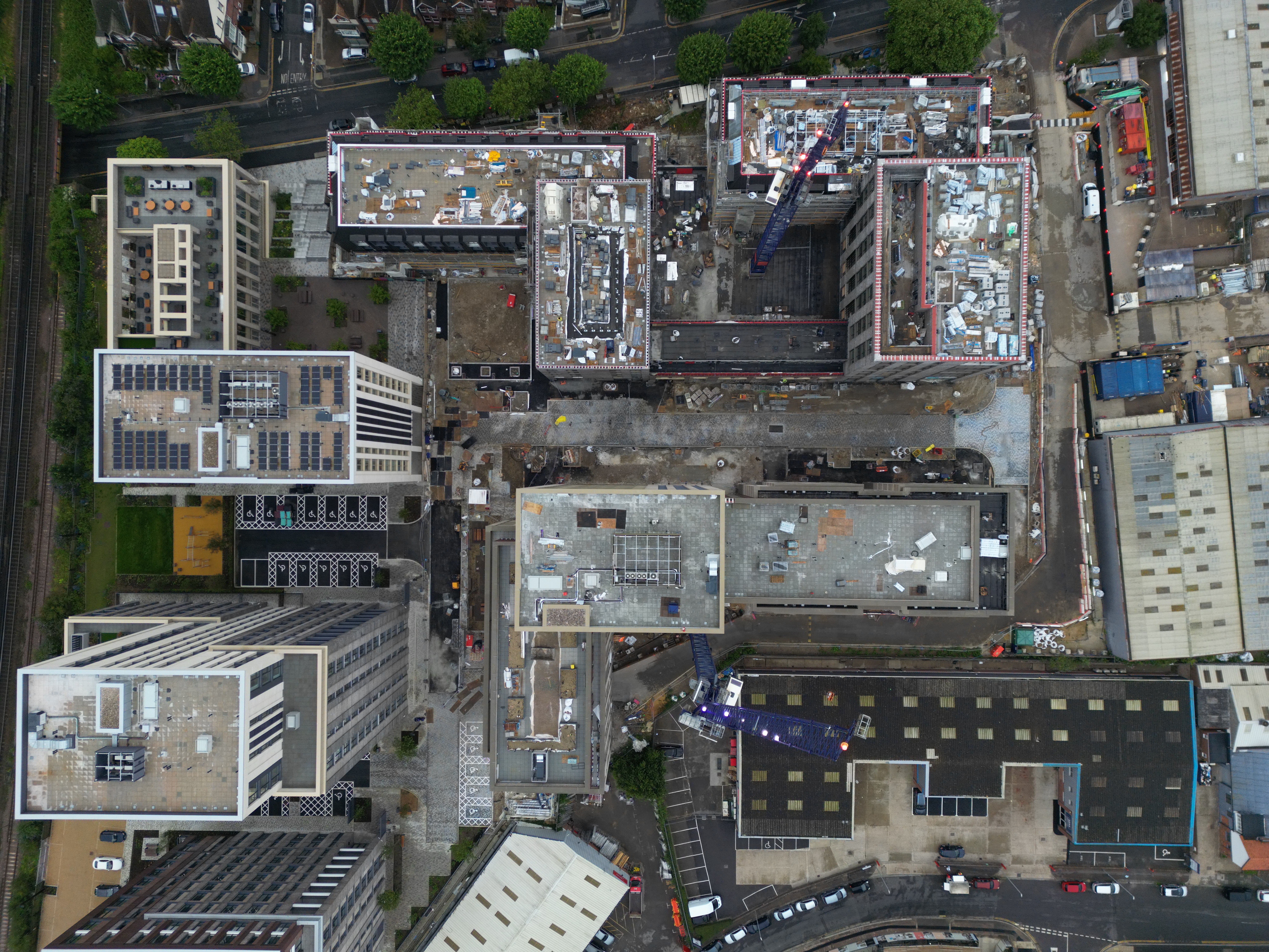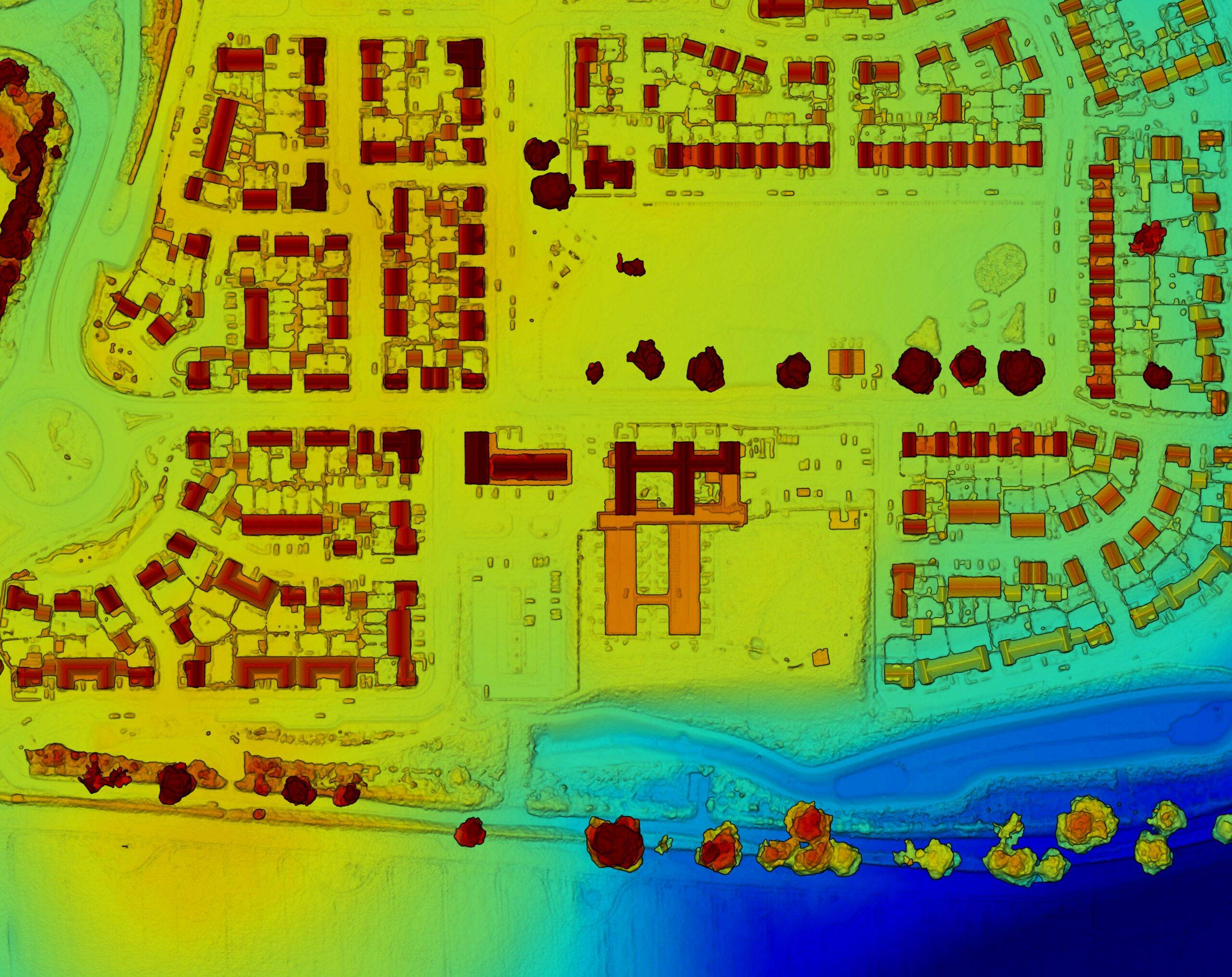

Our image data can be utilized for the creation of diverse topographic survey products such as Digital Elevation Models (DEM), Digital Surface & Terrain Models (DST/DTM).

Orthomosaics offer a high-resolution depiction of an extensive terrain, which has undergone an orthorectification procedure to address camera lens distortion and the curvature of the Earth. This procedure yields a photo of the site (known as a GeoTIFF) wherein horizontal measurements can be obtained, and specific longitude and latitude coordinates can be identified for any point within the image.

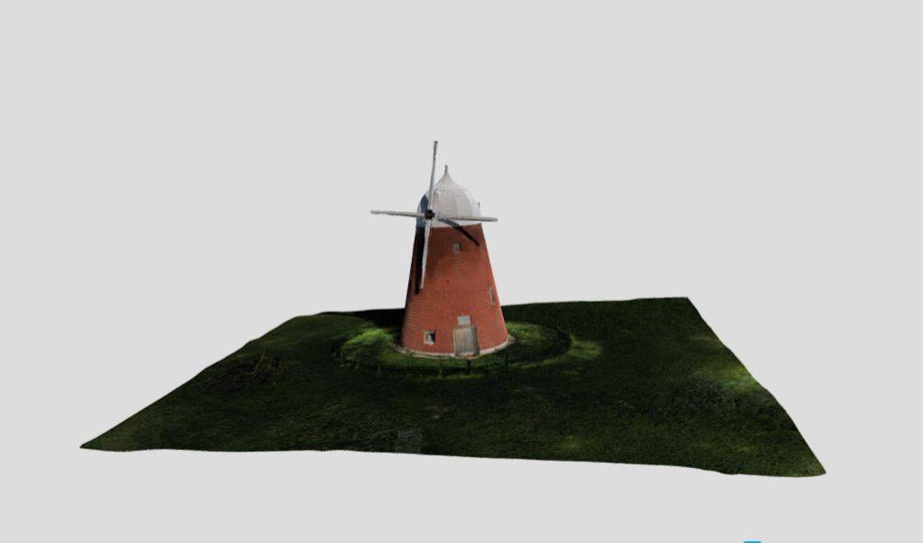
3D models enable comprehensive virtual visualization of a site area or structure. Our 3D work products comprise of Point Clouds, 3D Mesh Models, and other advanced forms. Our 3D models are ideal for surveying purposes, as well as for the overlaying of CAD designs onto the present project site surroundings.